Research

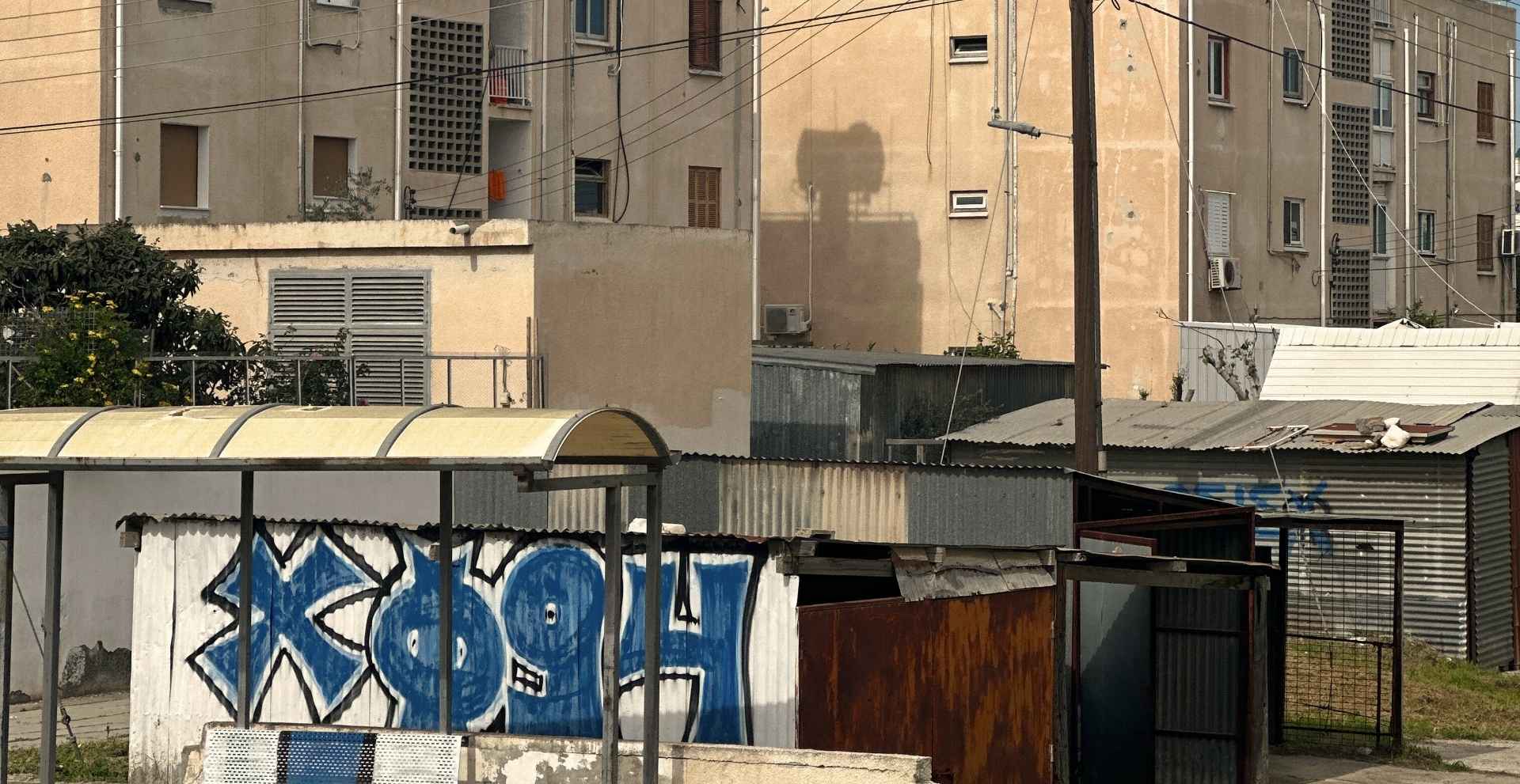
Mapping Refugee Housing Estates is developed within the Erasmus+ Blended Intensive Programme (2026) and engages students in collaborative documentation and mapping approaches across refugee housing estates in Cyprus. Focusing on neighbourhoods established after the 1974 war, the programme examines how displacement, everyday life, and long-term inhabitation have shaped these estates as spaces of memory, resilience, and social transformation.

It provides students with the knowledge and skills needed to explore complex urban environments through graphic ethnography, collaborative mapping, and situated spatial analysis. By combining expert-led methods with residents’ lived experience, the programme supports the development of context-sensitive, reflective, and inclusive approaches to understanding heritage, renewal, and the future of refugee neighbourhoods.
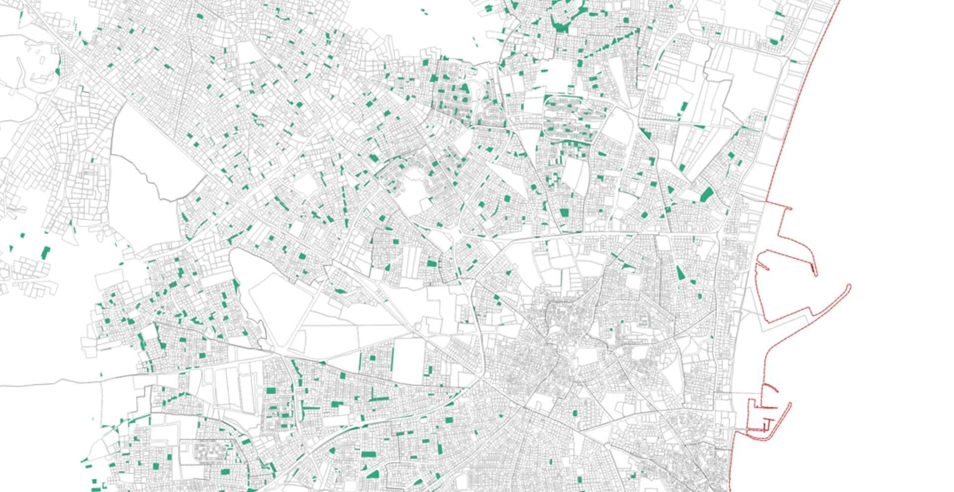
Commissioned by Larnaca Municipality, the GreenNet (Mapping and Integrating Green Spaces into the Urban Network) project addresses the fragmentation and limited integration of urban green spaces created through the planning permission process. Recognising their importance for environmental quality, social well-being, and climate resilience, the project examines how these spaces can better contribute to a connected and functional green infrastructure. It maps and assesses existing and planned green spaces in relation to connectivity, urban density, accessibility to public amenities, population reach, tree canopy, and spatial function.

By identifying opportunities to link fragmented spaces and optimise the location of future green developments, GreenNet supports more equitable, accessible, and resilient urban environments.

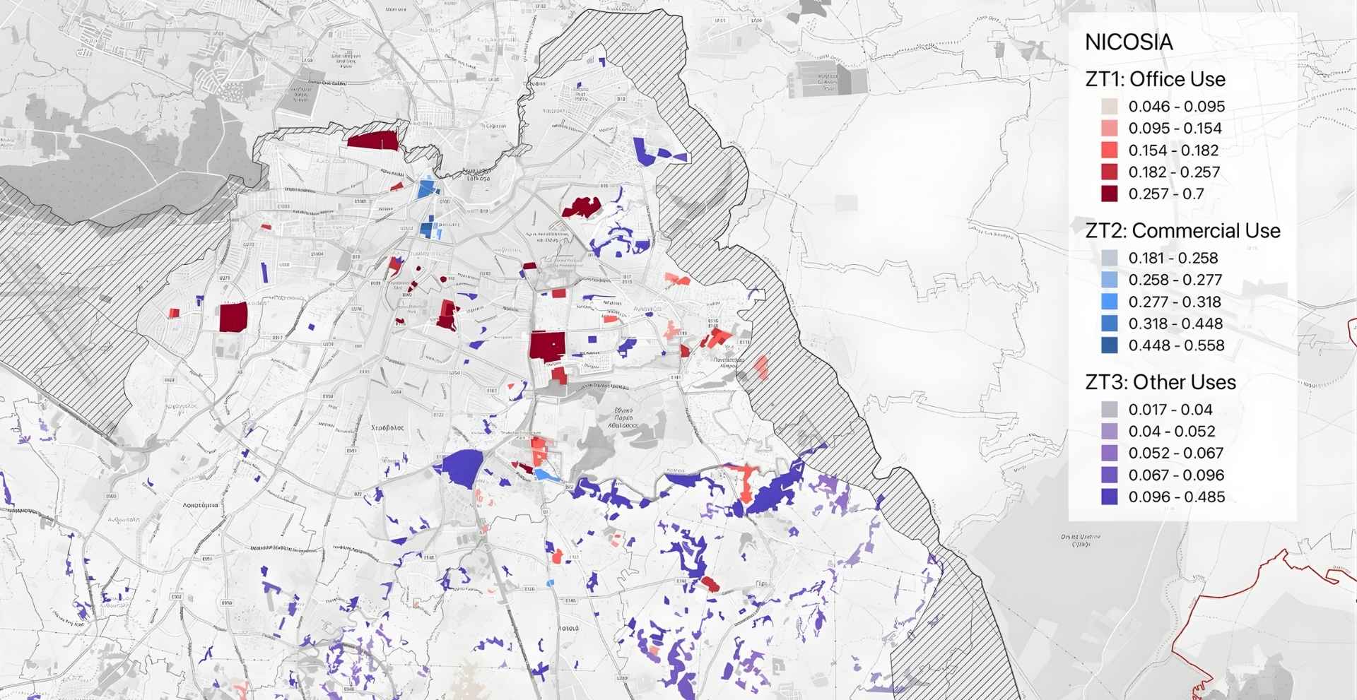
Commissioned by The Ministry of Transport Communications and Work, GOAL (Governmental Land Development Suitability Assessment), evaluated all government-owned land in Cyprus through a structured multicriteria analysis. By assessing parcels based on development potential, building affordance, accessibility, centrality, transport connectivity, and population reach, among others, GOAL highlights how evidence-based design can directly inform strategic decision-making.

A key output is a WebGIS platform that enables stakeholders to explore, filter, and prioritise parcels based on policy needs, supporting more transparent, coordinated, and future-oriented planning.

Commissioned by Larnaca Municipality, the FOR(U)M project supports the masterplan development of the former Dilistiria area in Larnaca by improving street network connectivity and refining land use categorisation. Its aim is to ensure seamless integration with the Land of Tomorrow masterplan and the wider local development framework, enhancing accessibility to key planned amenities such as the waterfront.

By strengthening interconnectivity between development sites and aligning the area’s spatial structure with strategic design objectives, the project contributes to a more coherent, accessible, and well-integrated urban development.

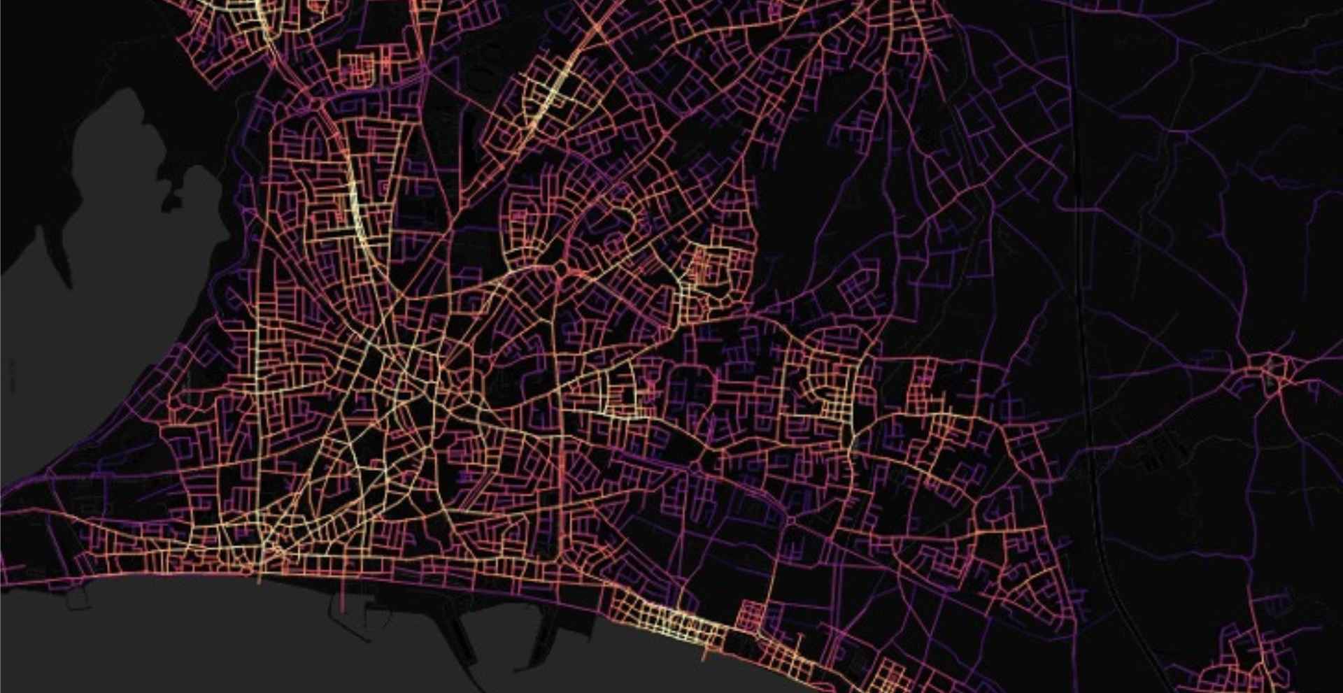
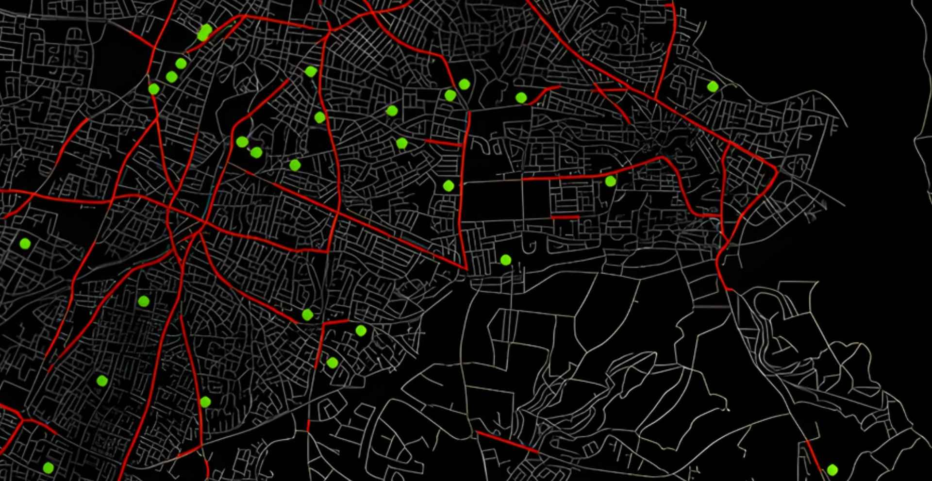
Commissioned by The Ministry of Transport Communications and Work, DESIRE (Supporting Active Travel Around Secondary Schools through Design Improvements Addressing Road Safety), analysed active travel conditions around secondary schools in Nicosia to examine the relationship between recorded traffic accidents (2018-2023) that involved pedestrians or cyclists, the spatial structure of the street network, school entrance locations, the availability and continuity of pedestrian infrastructure, and traffic calming measures.

The objective was to identify high-risk locations, spatial and design factors that may have contributed to the accidents occurring. The aim of the project was to produce the evidence base to decide on design and policy interventions to improve road safety and support active travel.

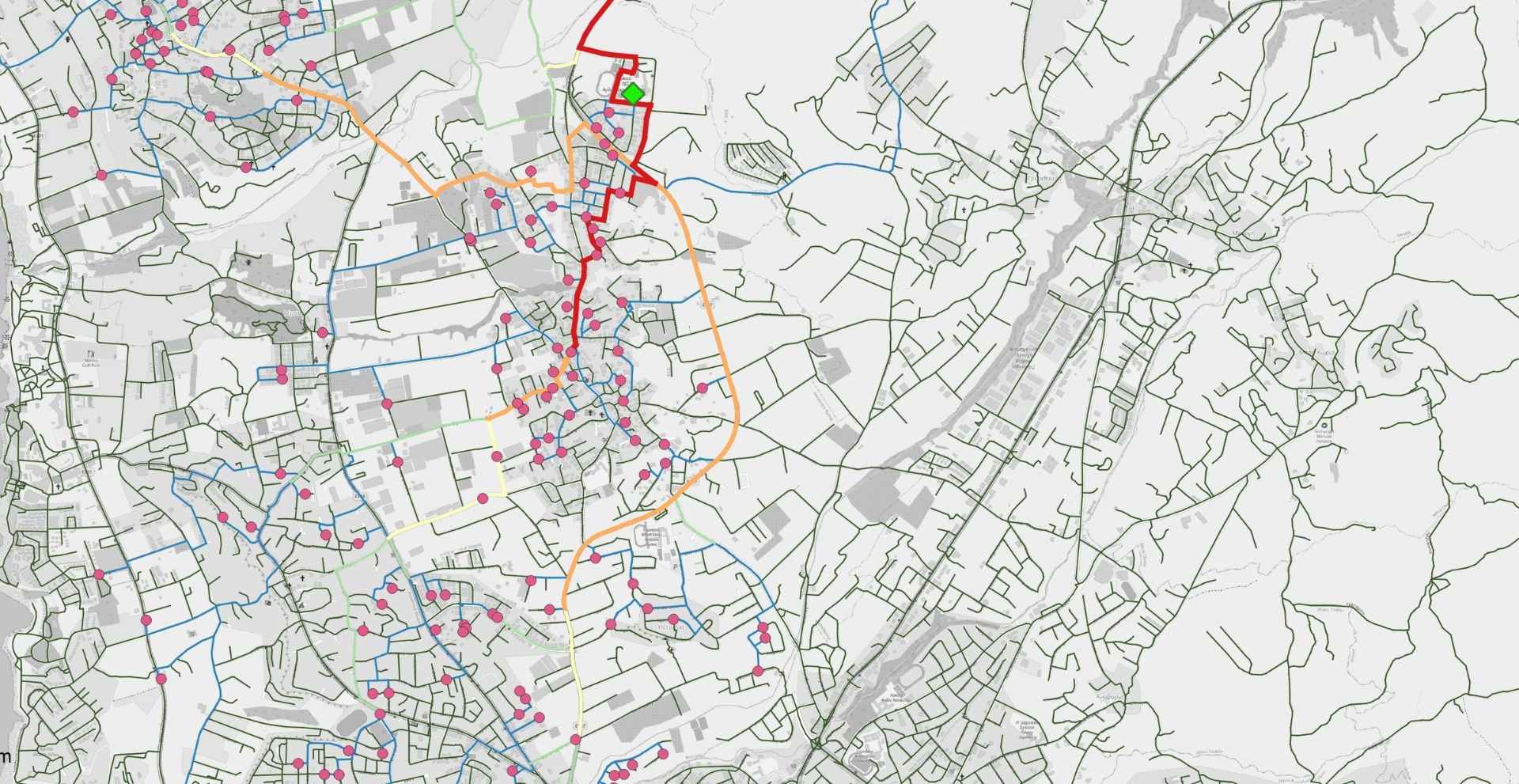
Commissioned by The Ministry of Transport Communications and Work, BRIMA (Bicycle Route Infrastructure Mapping and Analysis) supports evidence-based decision-making on cycling infrastructure and the promotion of cycling among secondary school students in non-urban areas and university students in Nicosia. The study maps door-to-door cycling routes from students’ residences to their schools and identifies the roads where cycling demand is most likely to concentrate. It also examines how route choices are shaped by distance, comfort, and safety, while exploring the priorities and mobility patterns of university students in relation to cycling.

By providing a clearer understanding of cycling potential and user preferences, the project informs targeted interventions for safer, more attractive, and more effective cycling networks.

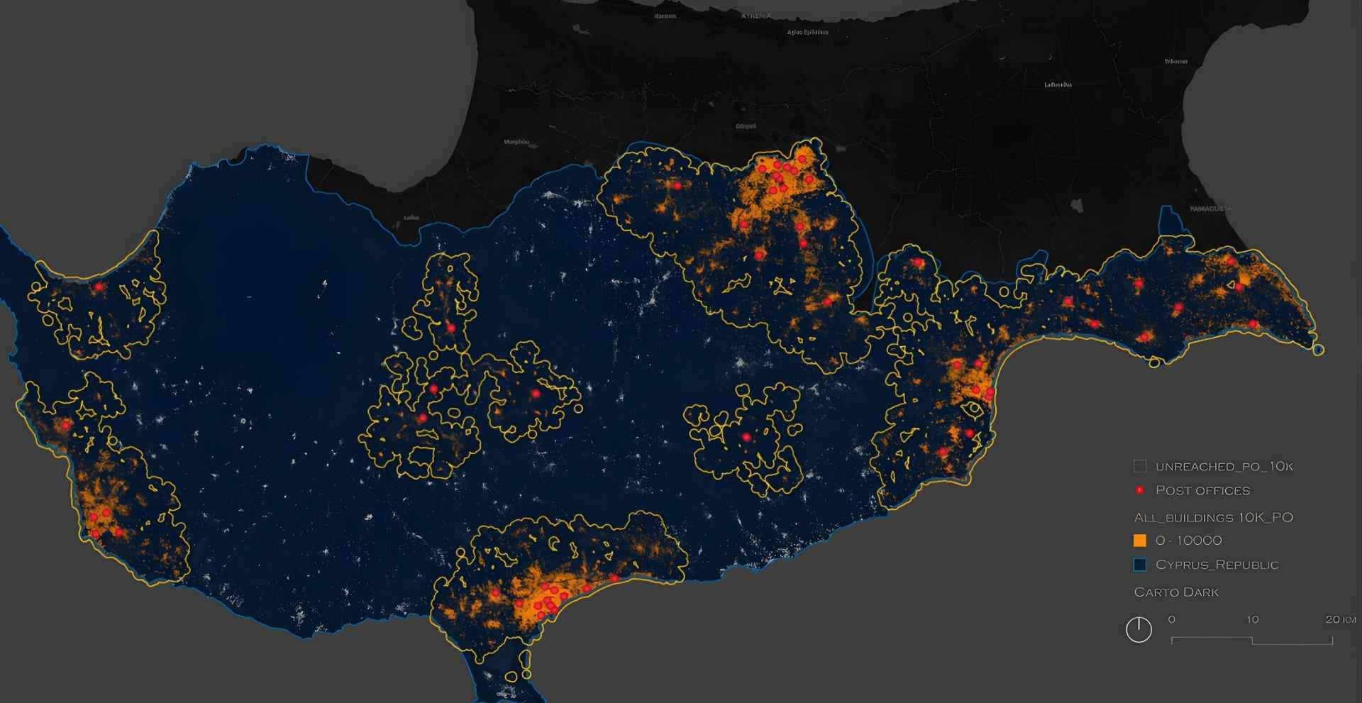
Commissioned by Post Office Cyprus, ACCESS established the analytical and strategic basis for evaluating citizen service locations across Cyprus. Using a consistent, evidence-based spatial methodology, the study assessed how effectively existing and proposed Citizen Service Centres (KEPs) and Citizen Centres (KEPOs) serve the population at national, non-urban, and urban scales. Accessibility was analysed across distance thresholds linked to walking, cycling, driving, and public transport.

The work identified underserved areas, tested alternative service locations, and examined overlaps and redundancies in the current network. Its findings support priority-setting for service decentralisation, equitable access, and sustainable territorial development, while also informing detailed scenario-based metropolitan analyses.

Sinikismos cultural and research initiative repositions Cypriot refugee housing estates as vital elements of urban heritage. Originally developed after the 1974 war to house displaced communities, these estates are understood not as temporary or marginal spaces, but as living archives of resilience, belonging, and transformation. Through participatory methods, cultural engagement, and the documentation of oral histories, everyday spatial practices, and architectural value, the project seeks to preserve and activate their social and cultural significance. The project directly supports Larnaka’s European Capital of Europe vision by foregrounding underrepresented voices, reclaiming overlooked places, and connecting local heritage to broader European questions of displacement, identity, and inclusive urban futures. In doing so, it contributes to cultural regeneration and more socially grounded approaches to urban development.

Streets for Citizens – TACTICAL URBANISM – new innovative solutions for sustainable mobility in the cities to mitigate negative environmental impacts in urban life and make cities more liveable places, supported by the Interreg Euro-MED Programme with co-financing from the European Regional Development Fund (ERDF) (1st January 2024 – 30th September 2026 (33 months).

The project promotes greener, safer and more inclusive urban environments by addressing car dependency, traffic risks and the lack of quality public and green spaces. It empowers local authorities, particularly in small and medium sized towns to engage citizens more effectively in mobility and public space transformation. Through a tactical urbanism methodology, participatory tools and pilot interventions, it develops scalable solutions and policy recommendations to support sustainable mobility, active citizen participation and long-term urban sustainability.